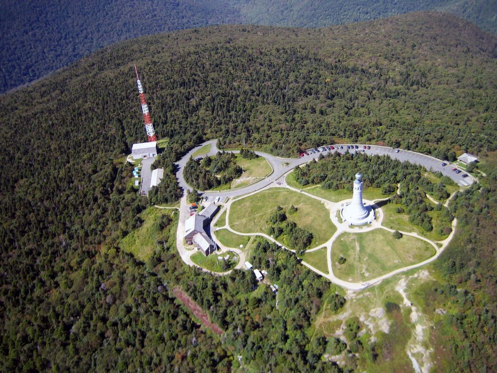
 We noticed other amateur radio operators hoisting tall antennae as we walked over to sign in at Bascom Lodge. I made a mental note to remember the new obstructions if we end up scratching right over the top.
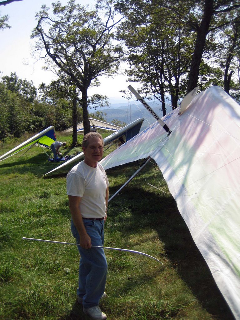
We quickly rigged in front of the small weekday crowd. Ron was ready to go first but had problems getting enough forward speed across the rocks down the flat slope. The 45 degree crosswind from the northeast didn’t help either. While Ron sorted his lines I scurried down the path to the HG launch. I couldn’t see Ron launching, but Pete kept me informed on the radio. Ron picked a strong cycle, pulled up, and was immediately lifted up and back before he got on the speed bar to get out front of the mountain.
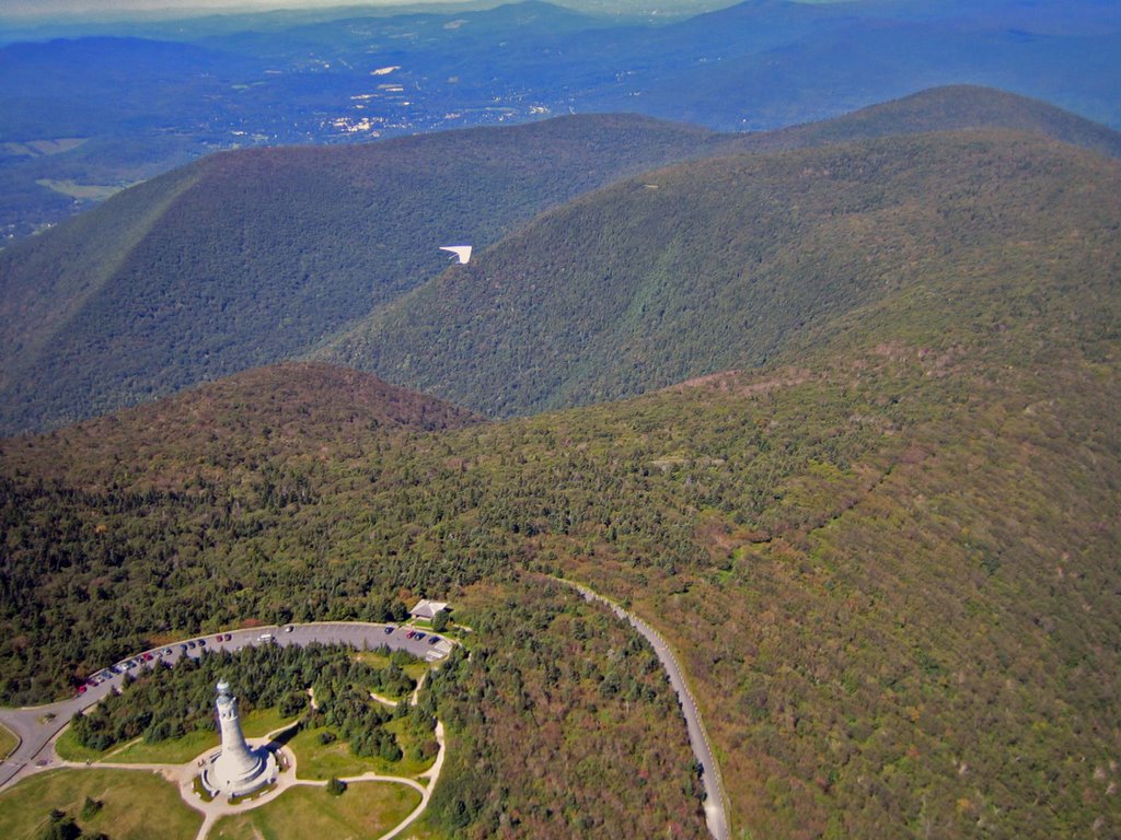 I wanted a launch cycle just like Ron’s! However, the wind died and wandered all over the place. The trees and weeds at the end of the shallow launch looked too high to run through. I kept waiting for wind, but any wind was in the form of gusty bursts that had a momentary tail wind at the back side. I usually don’t camp on launch but I didn’t like the net of greenery at the end of launch. I even considered hiking the glider back up the hill and passing on the day. It really hurt to see a hawk tossed into the sky just a short distance from the edge. Both Mark and Pete pointed out the hawk but I was waiting for more wind. Finally it started blowing in, although about 30 degrees cross. I ran, let the glider go to trim as I cleared the shrubbery, and then dove away. Whew!
I cruised back and forth along the mountain getting a little higher with each pass. Pete launched and soon Pete, Ron, and I were dancing around each other in punchy little blobs of lift right over the mountain. I was approaching launch when Mark started his launch run. I watched him speed forward and then slowly yaw to his left. Damn.
 I knew he was dragging on the weeds, but the yaw was slow enough that I hoped he would blast his way through. He got past the end of the launch but was slow and still yawing back towards the mountain. He had a slow motion arrival into the tree tops and ended up nose down above the ground. It was a slow speed tree landing, so I was expecting and hoping he was ok. I couldn’t see Mark and I couldn’t talk to him on the radio since he forgot it in the rush to meet Pete and me. No spectators were heading into the woods, so it looked like it was up to us. Heading to the LZ and getting a ride back up was out of the question; it would simply take too long. Although it is expressly forbidden, I scoped out a top landing if we didn’t see Mark coming out of the woods pronto. Finally I saw Mark’s helmet moving around the glider in the trees. (He was climbing into the control frame to get unhooked.) A few minutes later I saw Mark walking out to launch. Yeah! By that time the ranger, a fellow amateur radio operator, came by and let Mark use his 2 meter radio. Mark said he was fine, he would get back to his glider after he “unwound”, and we should go enjoy the day. I was very happy to hear he was ok.
 Ron headed out to the valley as Pete and I tried to get up off the mountain top. I was really confused by the feel of the air. The lift was strong but not organized and very broken. However, I didn’t think the wind was strong enough to shred the lift. I also didn’t think we were at the top of the lift since clouds to the east were at least 2000 feet higher than us. Maybe the air in the valley was calm and the little bit of wind above the valley was shearing off the lift as it rose. It didn’t seem like the right answer, but it was the best I could come up with at the time. So I drifted far back of the mountain staying with a climb until it turned on and eventually formed a cloud with me right under it. Either I was right about the shearing or lucky with the timing. Either way, I wasn’t complaining
I saw a car with a HG drive up the road so I assumed Mark would now have the help he needed to retrieve his glider. I now felt free to checkout the cloud forming to the southeast and found a strong climb on the south east side of the cloud. Um, the wind below was from the northeast, but the drift at the top was from the southeast.
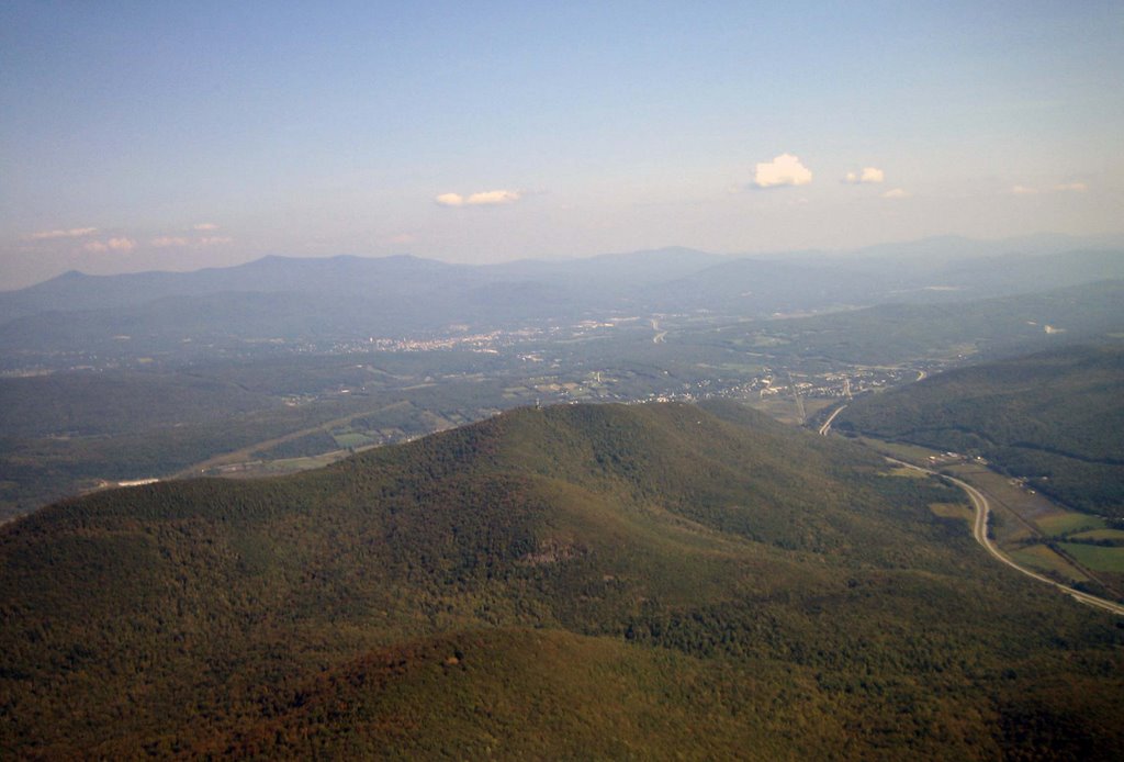
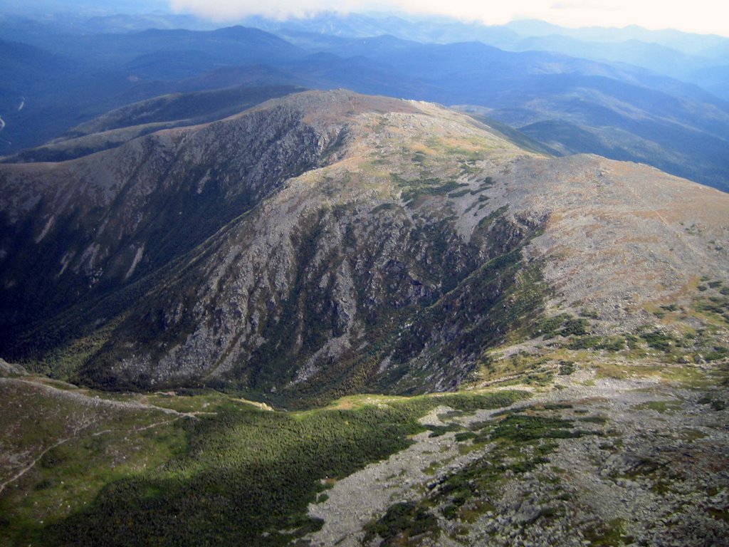
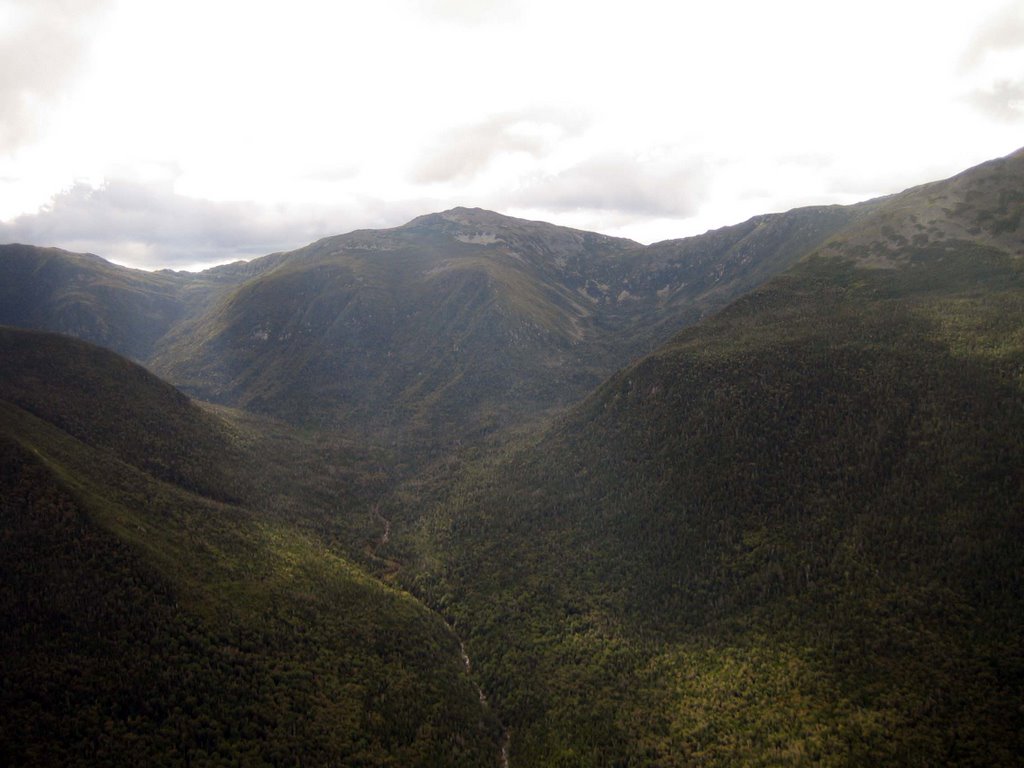
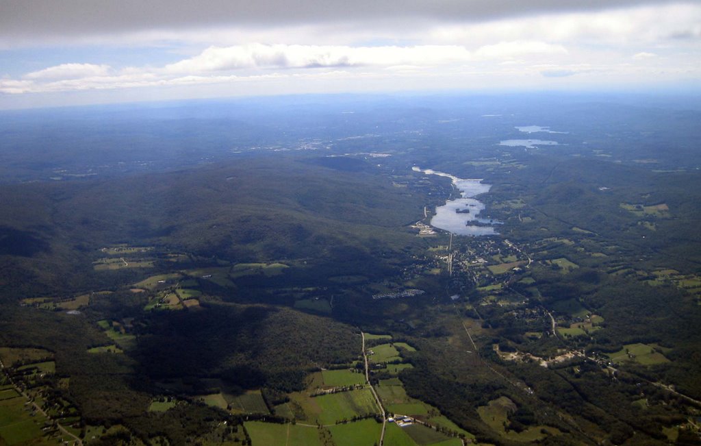
 The next cloud was also working with good strong lift on the southeast side. I quicken my pace as I passed Cheshire heading to the lake to the south. I comfortably slipped into racing mode and started zipping from cloud to cloud. I couldn’t believe I was in New England in September, it felt more like Texas in August. I really wanted to race off somewhere but Pete reminded me that his truck was heading from the LZ to home so I decided to run a little triangle with the longest leg upwind to the northeast. The view of the trees, lakes, and notches in that direction was pretty, unless you were a glider pilot! I was just banging away; climb and sink was just were it should be. I ran across a blue area that had me yelping like a puppy as I fell towards the trees below. I ran into screaming lift on the other side and reminded myself to avoid blue when there aren’t any LZs below. I warmed up my hands, took some pictures, and turned back when I noticed Pete at cloud base heading for the LZ.
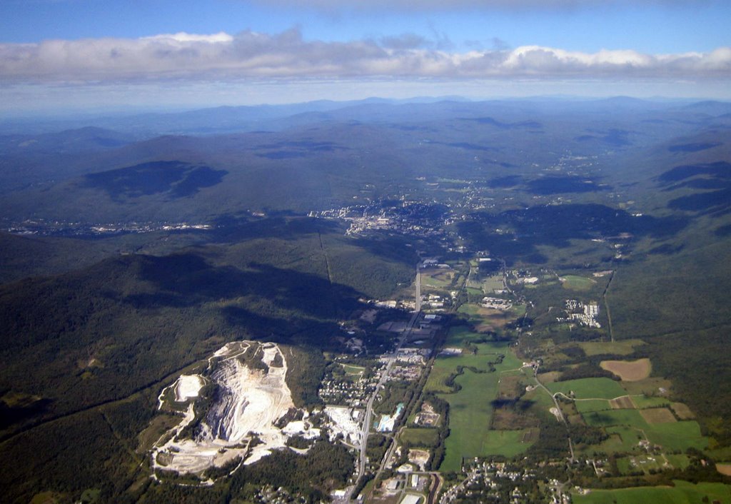
I watched Pete land and told him I would “close off the triangle” at launch and then come back and land. I was surprised to see Mark’s glider still in the trees when I got back. The other pilot, Mark Laversa, was now skimming along the ridge looking for his ticket out. I closed the triangle and wondered over to the LZ. The winds were switching from north to south in the LZ and I wasn’t in a gambling mood. I suspected the thermals forming the line of clouds overhead were causing the commotion on the ground, so I climbed near the LZ waiting for the line to either dissipate or move south. When the flags were consistently out of the north I spiraled down, wiggled between the power lines, concession stand, and the tall golf-ball net to nicely land on the driving range at "The Range" on Route 8 in North Adams.
 Pete and Mark greeted me in the breakdown area. Mark drove Pete’s truck down since he needed a bow saw and more manpower to free his glider. Gary stopped by after work and was also “recruited” for the extraction. Mark’s glider was comfortably resting in the trees about 6 feet off the cold shaded slope. After the usual few minutes of debate we carefully removed a couple branches and lowered the glider to the damp slippery ground. We removed all the battens and tip wands, rolled up the sail, tied up the dangling parts, and hiked it back to launch and then into the sunshine at the top. We set up the glider to pick out the leaves and small twigs. The glider looked fine with the exception of one small scuff on the leading edge. Mark and his glider got off easily, something we were all happy about.
Brooks, Mark Droy, and Mark Laversa showed up as we finished strapping down Mark’s glider and began looking for the “hidden” keys on the other HG vehicles at the top. We chatted awhile before heading down and back home.