Good cross country flying is usually only a memory by mid-August, but occasionally a shot of cold Canadian air spilling over the still-warm ground gives us one last fling. Like hungary kids without money in a candy store, we were unexpectedly given a bag full of treats three weeks ago today, August 23.
Peter picked me up at home and tossed JJ and Randy onto the truck in Leominster before continuing along
Route 2 to the
Mohawk Trail in western
Massachusetts. There was some grumbling about going to the "trail" due to the large number of "sled rides" doled out this season. I wasn't worried; the forecast looked good.
I was also on a mission to lay-down a late summer flight to beat the embarrassingly short flight winning the local annual XC competition. I know the season has been pathetic, but surely we could do better. John Z had the same thought and was driving to aero-tow at
Morningside to see if he could fix that.
We pulled off
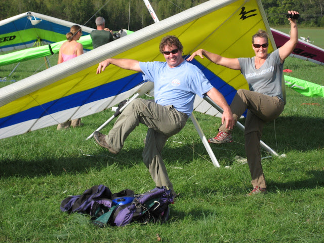
Route 2 into the parking area and met Amy and Keith getting ready to hike into launch. We were rigging a bit later when PK and Brooks showed up. No one was eager to launch since the occasional light to calm cycles triggered fears of impending sledders. The sky looked too good to wait any longer, so I suited up. Since Randy's glider was between me and launch, he offered to go first. Randy waited for wind to blow in, while I had to wait for the wind to calm down. Go figure. Keith captured our launches on video.
I never got low but didn't beam out either. Randy and I flew south to the steeper and taller part of the ridge. The rest of the crew launched and were hanging on close to launch. Amy eventually flew south to us as we started climbing above the ridge.
Mount Greylock viewed from Mohawk Trail
I was due east of
Mount Greylock about 2 miles (3.2 km) south of launch when I noticed Peter getting higher than us. I started flowing north and shifted into high gear when I noticed PK climbing quickly in front of launch. I came in way below both of them and snagged the last rowdy bits of the thermal. I drifted back as far as I dared but luckily (?) stumbled into a rowdy screaming banshee that threw me upwards when I pushed upwind. Whew, I was finally at base with Peter and PK as I watched Matt creep onto launch far below.
Cloud base was under 5000 feet (1500 m) but still high enough to go exploring. Peter decided to join me as I carefully ventured east along
Route 2.
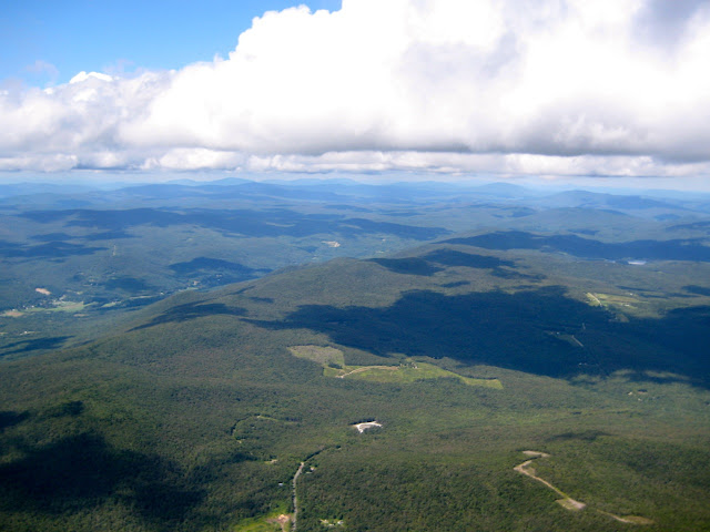
I played at cloud base as we flew over scenic hills and valleys. We were heading to the LZs near the ski area in the upper right of the next and previous pictures. (The lake on the top of the mountain is a storage facility).
Looking east, LZs near ski area at upper right
Peter missed a strong climb that kept me at base, but still had plenty of altitude to make the inviting fields in the valley ahead.
Peter in lower left corner
Looking back to the west
Peter got low as we entered the valley so I moved on. I had to stop for several weak thermals as I got low at the other end of the valley over the
Deerfield River.
Since one of the pilots back at the ridge had a microphone stuck "on", I couldn't communicate with Peter. I was getting ready to move on when lo-and-behold he came flying in a few hundred feet below me. Sweet! We searched without luck for a climb to cloud base. Peter flew to the southwest along a sunlit ridge while I pushed back upwind to a good looking cloud. I was rewarded with a trip to base while Peter glided to a large field at the end of the ridge. Bummer, but still a very nice flight.
I continued on along
Route 2 over the ridge towards Greenfield and an easy cruise under a short street to the other side of the
Connecticut River valley.
I now had to rely on my flight computer, coordinates I programmed years ago, and my gliding ability. I plotted a course hopping from airfield to airfield along
Route 2. Each airfield was reachable from the previous airfield, but years ago I planned on a 7000 to 8000 foot (2100 - 2400 meter) cloud base, not the 4500 to 6000 foot (1300 - 1800 meter) cloud base I had. Oh, I have to rely on the airfields since useable LZs are scarce in that part of the state.
I reached the airfield at Turners Falls without any drama, but the next three required tactical flying.
First up was the forest around the
Quabbin Reservoir. The best clouds were south of course line so I had to work hard to keep within reach of a useable LZ.
The day was changing as I reached the airfield in Orange. A large mass of overdevelopment was creeping towards me from the northwest, smothering everything in its path. I left prematurely trying to outrun its grasp.
I arrived at the next airfield in Gardner but was running out of options. There were good looking clouds to the southwest over
Mount Wachusett but no LZs. Everything along my course line to the east was shaded. I decided to carefully venture over the trees towards the mountain looking for a climb while still keeping within glide of the airfield. I found a broken climb that got me high enough to barely reach the Fitchburg airport or the airfield at Sterling. I couldn't see either but quickly needed to make a choice. I could probably fly further heading southwest to Sterling, but the deal with the crew was to land along
Route 2 AND home was only one more climb away to the east. It looked hopeless, but maybe, just maybe, I'd find one more climb.
I started the long nail-biting glide towards the
Fitchburg airport. The landing options along the way were not enticing and neither was the sky overhead. I knew my day was done, now the only question was would I make it to the airport? I had a neutral glide and arrived with enough of altitude to enter a left-hand pattern half-way down the runway. A pilot taxied out and took off as I was turning onto final, so I shifted my approach to the north, flew along the taxi-way, and landed next to the wind sock.
I chatted with several pilots and airport personnel as I leisurely packed up, thrilled with afternoon I just had. I watched students practicing touch-and-gos, including someone in a
Stearman.
I waited in front of the terminal building while JJ fetched the truck (after landing with Amy, Brooks, Keith, and PK in the valley below Mount Greylock), picked up Randy and Peter along the Deerfield river, and then came to get me.
I talked with John Z as I waited. He had a nice flight from
Morningside to the fairgrounds in Deerfield NH and was also grounded by overdevelopment.
This flight was a real treat. Its getting difficult for me to find unexplored places in New England to fly over, but aside from the launch, every part of this flight was new to me. It's also sweet flying directly back along the way we drove to launch, dramatically shortening my usual multi-hour drive home. The only bitter-sweet aspect of this flight is that I landed 11 miles (18 km) from home; one more climb and I could have landed in my back yard.
Flights: 1, Duration: 3:45, Distance: 67.7 miles


