I woke.
I drove.
I sledded.
I drove.
I slept.
Sunday, November 26, 2006


Monday, September 18, 2006
Mount Greylock
Although Pete Judge and I were not yet prepared for important client meetings on Tuesday, we played hooky and went flying last Monday anyway. I woke up Mark Vaughn when I called to tell him there was room on the truck if he wanted to come along. About an hour later the three of us were heading west to Mount Greylock. We met Ron at a gas station on the way to launch, so we backtracked to the LZ, tossed his PG into the truck, and resumed our trip to the top.
 We noticed other amateur radio operators hoisting tall antennae as we walked over to sign in at Bascom Lodge. I made a mental note to remember the new obstructions if we end up scratching right over the top.
We quickly rigged in front of the small weekday crowd. Ron was ready to go first but had problems getting enough forward speed across the rocks down the flat slope. The 45 degree crosswind from the northeast didn’t help either. While Ron sorted his lines I scurried down the path to the HG launch. I couldn’t see Ron launching, but Pete kept me informed on the radio. Ron picked a strong cycle, pulled up, and was immediately lifted up and back before he got on the speed bar to get out front of the mountain.
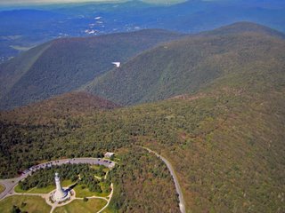 I wanted a launch cycle just like Ron’s! However, the wind died and wandered all over the place. The trees and weeds at the end of the shallow launch looked too high to run through. I kept waiting for wind, but any wind was in the form of gusty bursts that had a momentary tail wind at the back side. I usually don’t camp on launch but I didn’t like the net of greenery at the end of launch. I even considered hiking the glider back up the hill and passing on the day. It really hurt to see a hawk tossed into the sky just a short distance from the edge. Both Mark and Pete pointed out the hawk but I was waiting for more wind. Finally it started blowing in, although about 30 degrees cross. I ran, let the glider go to trim as I cleared the shrubbery, and then dove away. Whew!
I cruised back and forth along the mountain getting a little higher with each pass. Pete launched and soon Pete, Ron, and I were dancing around each other in punchy little blobs of lift right over the mountain. I was approaching launch when Mark started his launch run. I watched him speed forward and then slowly yaw to his left. Damn. I knew he was dragging on the weeds, but the yaw was slow enough that I hoped he would blast his way through. He got past the end of the launch but was slow and still yawing back towards the mountain. He had a slow motion arrival into the tree tops and ended up nose down above the ground. It was a slow speed tree landing, so I was expecting and hoping he was ok. I couldn’t see Mark and I couldn’t talk to him on the radio since he forgot it in the rush to meet Pete and me. No spectators were heading into the woods, so it looked like it was up to us. Heading to the LZ and getting a ride back up was out of the question; it would simply take too long. Although it is expressly forbidden, I scoped out a top landing if we didn’t see Mark coming out of the woods pronto. Finally I saw Mark’s helmet moving around the glider in the trees. (He was climbing into the control frame to get unhooked.) A few minutes later I saw Mark walking out to launch. Yeah! By that time the ranger, a fellow amateur radio operator, came by and let Mark use his 2 meter radio. Mark said he was fine, he would get back to his glider after he “unwound”, and we should go enjoy the day. I was very happy to hear he was ok.
 Ron headed out to the valley as Pete and I tried to get up off the mountain top. I was really confused by the feel of the air. The lift was strong but not organized and very broken. However, I didn’t think the wind was strong enough to shred the lift. I also didn’t think we were at the top of the lift since clouds to the east were at least 2000 feet higher than us. Maybe the air in the valley was calm and the little bit of wind above the valley was shearing off the lift as it rose. It didn’t seem like the right answer, but it was the best I could come up with at the time. So I drifted far back of the mountain staying with a climb until it turned on and eventually formed a cloud with me right under it. Either I was right about the shearing or lucky with the timing. Either way, I wasn’t complaining
I saw a car with a HG drive up the road so I assumed Mark would now have the help he needed to retrieve his glider. I now felt free to checkout the cloud forming to the southeast and found a strong climb on the south east side of the cloud. Um, the wind below was from the northeast, but the drift at the top was from the southeast. The next cloud was also working with good strong lift on the southeast side. I quicken my pace as I passed Cheshire heading to the lake to the south. I comfortably slipped into racing mode and started zipping from cloud to cloud. I couldn’t believe I was in New England in September, it felt more like Texas in August. I really wanted to race off somewhere but Pete reminded me that his truck was heading from the LZ to home so I decided to run a little triangle with the longest leg upwind to the northeast. The view of the trees, lakes, and notches in that direction was pretty, unless you were a glider pilot! I was just banging away; climb and sink was just were it should be. I ran across a blue area that had me yelping like a puppy as I fell towards the trees below. I ran into screaming lift on the other side and reminded myself to avoid blue when there aren’t any LZs below. I warmed up my hands, took some pictures, and turned back when I noticed Pete at cloud base heading for the LZ.
I watched Pete land and told him I would “close off the triangle” at launch and then come back and land. I was surprised to see Mark’s glider still in the trees when I got back. The other pilot, Mark Laversa, was now skimming along the ridge looking for his ticket out. I closed the triangle and wondered over to the LZ. The winds were switching from north to south in the LZ and I wasn’t in a gambling mood. I suspected the thermals forming the line of clouds overhead were causing the commotion on the ground, so I climbed near the LZ waiting for the line to either dissipate or move south. When the flags were consistently out of the north I spiraled down, wiggled between the power lines, concession stand, and the tall golf-ball net to nicely land on the driving range at "The Range" on Route 8 in North Adams.
 Pete and Mark greeted me in the breakdown area. Mark drove Pete’s truck down since he needed a bow saw and more manpower to free his glider. Gary stopped by after work and was also “recruited” for the extraction. Mark’s glider was comfortably resting in the trees about 6 feet off the cold shaded slope. After the usual few minutes of debate we carefully removed a couple branches and lowered the glider to the damp slippery ground. We removed all the battens and tip wands, rolled up the sail, tied up the dangling parts, and hiked it back to launch and then into the sunshine at the top. We set up the glider to pick out the leaves and small twigs. The glider looked fine with the exception of one small scuff on the leading edge. Mark and his glider got off easily, something we were all happy about.
Brooks, Mark Droy, and Mark Laversa showed up as we finished strapping down Mark’s glider and began looking for the “hidden” keys on the other HG vehicles at the top. We chatted awhile before heading down and back home.
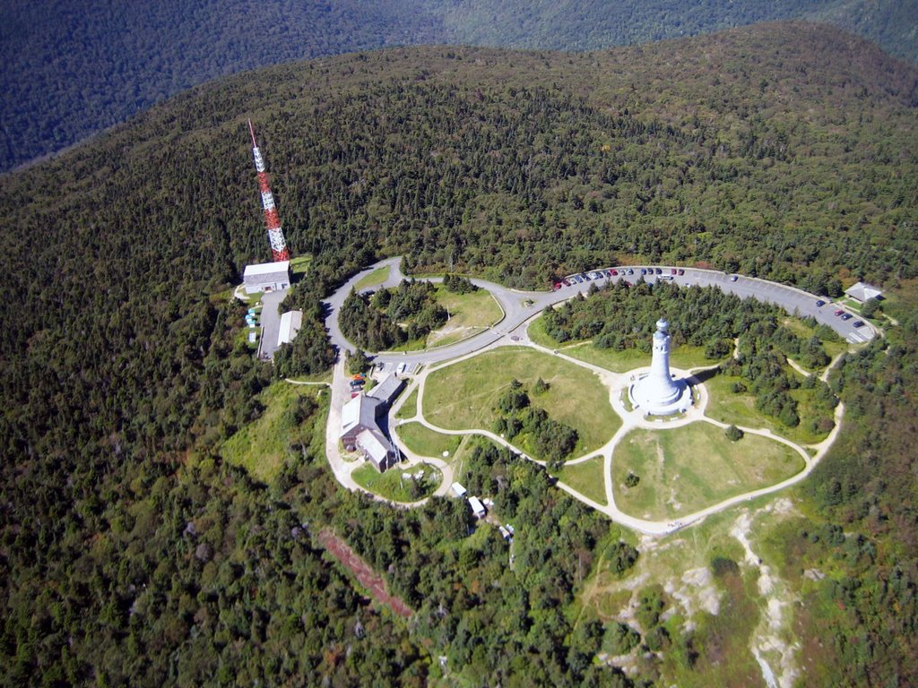 We noticed other amateur radio operators hoisting tall antennae as we walked over to sign in at Bascom Lodge. I made a mental note to remember the new obstructions if we end up scratching right over the top.
We quickly rigged in front of the small weekday crowd. Ron was ready to go first but had problems getting enough forward speed across the rocks down the flat slope. The 45 degree crosswind from the northeast didn’t help either. While Ron sorted his lines I scurried down the path to the HG launch. I couldn’t see Ron launching, but Pete kept me informed on the radio. Ron picked a strong cycle, pulled up, and was immediately lifted up and back before he got on the speed bar to get out front of the mountain.
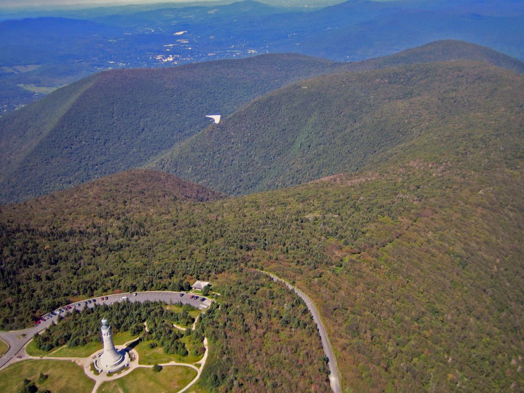 I wanted a launch cycle just like Ron’s! However, the wind died and wandered all over the place. The trees and weeds at the end of the shallow launch looked too high to run through. I kept waiting for wind, but any wind was in the form of gusty bursts that had a momentary tail wind at the back side. I usually don’t camp on launch but I didn’t like the net of greenery at the end of launch. I even considered hiking the glider back up the hill and passing on the day. It really hurt to see a hawk tossed into the sky just a short distance from the edge. Both Mark and Pete pointed out the hawk but I was waiting for more wind. Finally it started blowing in, although about 30 degrees cross. I ran, let the glider go to trim as I cleared the shrubbery, and then dove away. Whew!
I cruised back and forth along the mountain getting a little higher with each pass. Pete launched and soon Pete, Ron, and I were dancing around each other in punchy little blobs of lift right over the mountain. I was approaching launch when Mark started his launch run. I watched him speed forward and then slowly yaw to his left. Damn.
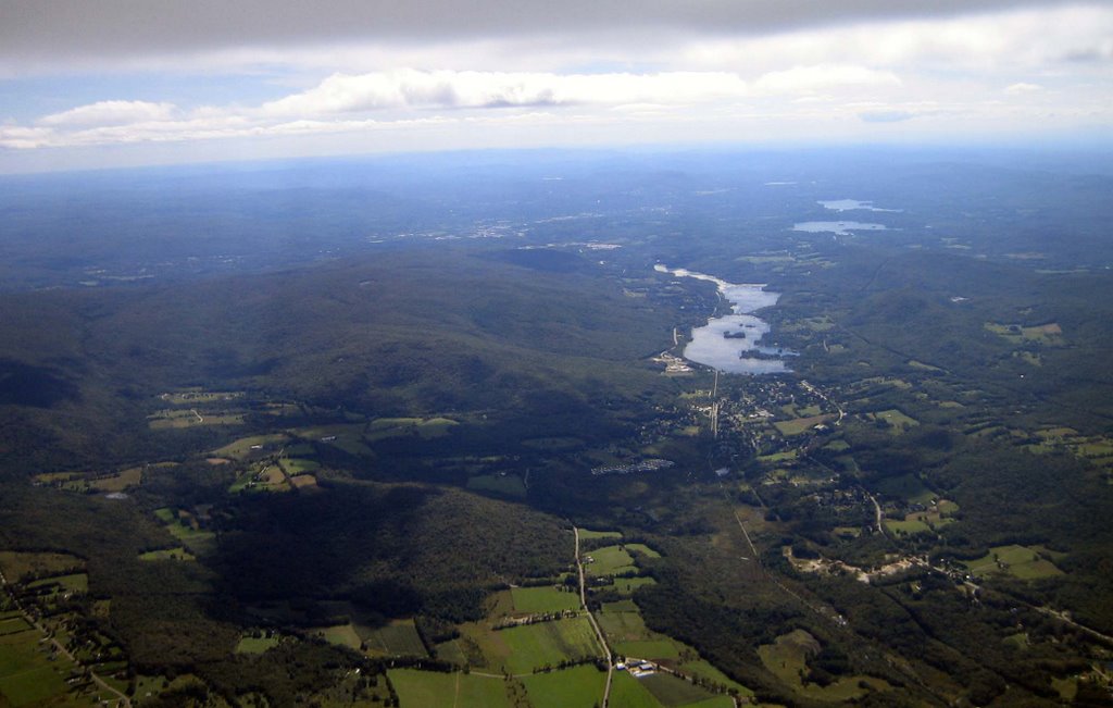 I knew he was dragging on the weeds, but the yaw was slow enough that I hoped he would blast his way through. He got past the end of the launch but was slow and still yawing back towards the mountain. He had a slow motion arrival into the tree tops and ended up nose down above the ground. It was a slow speed tree landing, so I was expecting and hoping he was ok. I couldn’t see Mark and I couldn’t talk to him on the radio since he forgot it in the rush to meet Pete and me. No spectators were heading into the woods, so it looked like it was up to us. Heading to the LZ and getting a ride back up was out of the question; it would simply take too long. Although it is expressly forbidden, I scoped out a top landing if we didn’t see Mark coming out of the woods pronto. Finally I saw Mark’s helmet moving around the glider in the trees. (He was climbing into the control frame to get unhooked.) A few minutes later I saw Mark walking out to launch. Yeah! By that time the ranger, a fellow amateur radio operator, came by and let Mark use his 2 meter radio. Mark said he was fine, he would get back to his glider after he “unwound”, and we should go enjoy the day. I was very happy to hear he was ok.
 Ron headed out to the valley as Pete and I tried to get up off the mountain top. I was really confused by the feel of the air. The lift was strong but not organized and very broken. However, I didn’t think the wind was strong enough to shred the lift. I also didn’t think we were at the top of the lift since clouds to the east were at least 2000 feet higher than us. Maybe the air in the valley was calm and the little bit of wind above the valley was shearing off the lift as it rose. It didn’t seem like the right answer, but it was the best I could come up with at the time. So I drifted far back of the mountain staying with a climb until it turned on and eventually formed a cloud with me right under it. Either I was right about the shearing or lucky with the timing. Either way, I wasn’t complaining
I saw a car with a HG drive up the road so I assumed Mark would now have the help he needed to retrieve his glider. I now felt free to checkout the cloud forming to the southeast and found a strong climb on the south east side of the cloud. Um, the wind below was from the northeast, but the drift at the top was from the southeast.
 The next cloud was also working with good strong lift on the southeast side. I quicken my pace as I passed Cheshire heading to the lake to the south. I comfortably slipped into racing mode and started zipping from cloud to cloud. I couldn’t believe I was in New England in September, it felt more like Texas in August. I really wanted to race off somewhere but Pete reminded me that his truck was heading from the LZ to home so I decided to run a little triangle with the longest leg upwind to the northeast. The view of the trees, lakes, and notches in that direction was pretty, unless you were a glider pilot! I was just banging away; climb and sink was just were it should be. I ran across a blue area that had me yelping like a puppy as I fell towards the trees below. I ran into screaming lift on the other side and reminded myself to avoid blue when there aren’t any LZs below. I warmed up my hands, took some pictures, and turned back when I noticed Pete at cloud base heading for the LZ.
I watched Pete land and told him I would “close off the triangle” at launch and then come back and land. I was surprised to see Mark’s glider still in the trees when I got back. The other pilot, Mark Laversa, was now skimming along the ridge looking for his ticket out. I closed the triangle and wondered over to the LZ. The winds were switching from north to south in the LZ and I wasn’t in a gambling mood. I suspected the thermals forming the line of clouds overhead were causing the commotion on the ground, so I climbed near the LZ waiting for the line to either dissipate or move south. When the flags were consistently out of the north I spiraled down, wiggled between the power lines, concession stand, and the tall golf-ball net to nicely land on the driving range at "The Range" on Route 8 in North Adams.
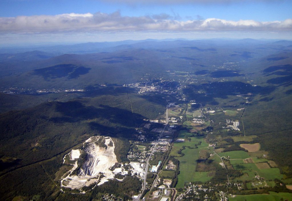 Pete and Mark greeted me in the breakdown area. Mark drove Pete’s truck down since he needed a bow saw and more manpower to free his glider. Gary stopped by after work and was also “recruited” for the extraction. Mark’s glider was comfortably resting in the trees about 6 feet off the cold shaded slope. After the usual few minutes of debate we carefully removed a couple branches and lowered the glider to the damp slippery ground. We removed all the battens and tip wands, rolled up the sail, tied up the dangling parts, and hiked it back to launch and then into the sunshine at the top. We set up the glider to pick out the leaves and small twigs. The glider looked fine with the exception of one small scuff on the leading edge. Mark and his glider got off easily, something we were all happy about.
Brooks, Mark Droy, and Mark Laversa showed up as we finished strapping down Mark’s glider and began looking for the “hidden” keys on the other HG vehicles at the top. We chatted awhile before heading down and back home.
Friday, September 15, 2006
Goodbye Summer
I had a nice laid-back 3.5 hour summer-like flight at West Rutland, Vermont last Friday. An iron-clad forecast for soarable rain-free conditions with temperatures near 80F (26C) made it easy for Pete and I to make the 7 hour roundtrip drive. We meet John Chambers, John Sillero, Al Ahl, and the landowner in LZ at the base before testing the rock scrambling abilities of my Touareg on the way to the top. We just missed Jim, a pilot from the Burlington area, who hiked up with his PG after us. PK joined us after I was in the air.
 We discussed the lack of new pilots as we rigged. Although it was a week day, a “sure bet” day in the past would have been crowded with new pilots. (West Rutland is the only H2 mountain site in our area and is where pilots accumulate the experience and time required to earn a H3 rating.) If we needed any evidence the number of active pilots in our area was falling, we had it right before us.
I launched first and floated up over the top. Once the other pilots launched, I made the first of many trips towards the large valley to the west. I really enjoy working the lift lines or “string lift” at West Rutland; at times I could fly upwind miles without losing altitude. Since I needed to land at the LZ, or at least close by, I didn’t venture more than one or two climbs away.
There were birds everywhere. The ravens were playing with each other and even us at times. We all spotted birds migrating south. John C spotted two bald eagles. I saw an unfamiliar bird, something that looks like the frigate bird logo on Moyes gliders.
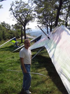 John, in his ATOS VR, was the first to break through the inversion but a short time later John C and I found a strong climb that also deposited us above the inversion. I cruised west towards John S and momentarily lost sight of John C. When I finally spotted him, he was a good 2000 feet below. Ouch. (He later said he made a wrong turn into sink and was quickly punished.)
I stayed in the valley checking out scenery after everyone else returned to the ridge. I came back in very low just when everyone else was heading out to explore. I was probably below the point where I needed to head to the LZ, but I decided to take one pass along the mountainside. I found a little bullet thermal that saved my butt and postponed my trip to the LZ. Meanwhile everyone else was sinking out and landing. I wanted to take some air-to-air photos in the possible glass-off to come but that would be hard with no one else in the air! I climbed to cloud base and then headed towards Bird’s Eye and the other peaks to the south. I chased some buzzards, caught a bit of floating fuzz, and then headed down to land.
 Pete offered to fetch my truck when Al offered rides to the top. While I finished breaking down, Pattie stopped by to see how John was doing. We chatted awhile, talked to Dave and Julie on the telephone, and then had some zucchini bread.
Pete and I were treated to an awesome moonrise over the mountains on the way home. The flaming red and yellow leaves on the swamp maples were a sure sign that summer was over and soon so would our flying season.
 We discussed the lack of new pilots as we rigged. Although it was a week day, a “sure bet” day in the past would have been crowded with new pilots. (West Rutland is the only H2 mountain site in our area and is where pilots accumulate the experience and time required to earn a H3 rating.) If we needed any evidence the number of active pilots in our area was falling, we had it right before us.
I launched first and floated up over the top. Once the other pilots launched, I made the first of many trips towards the large valley to the west. I really enjoy working the lift lines or “string lift” at West Rutland; at times I could fly upwind miles without losing altitude. Since I needed to land at the LZ, or at least close by, I didn’t venture more than one or two climbs away.
There were birds everywhere. The ravens were playing with each other and even us at times. We all spotted birds migrating south. John C spotted two bald eagles. I saw an unfamiliar bird, something that looks like the frigate bird logo on Moyes gliders.
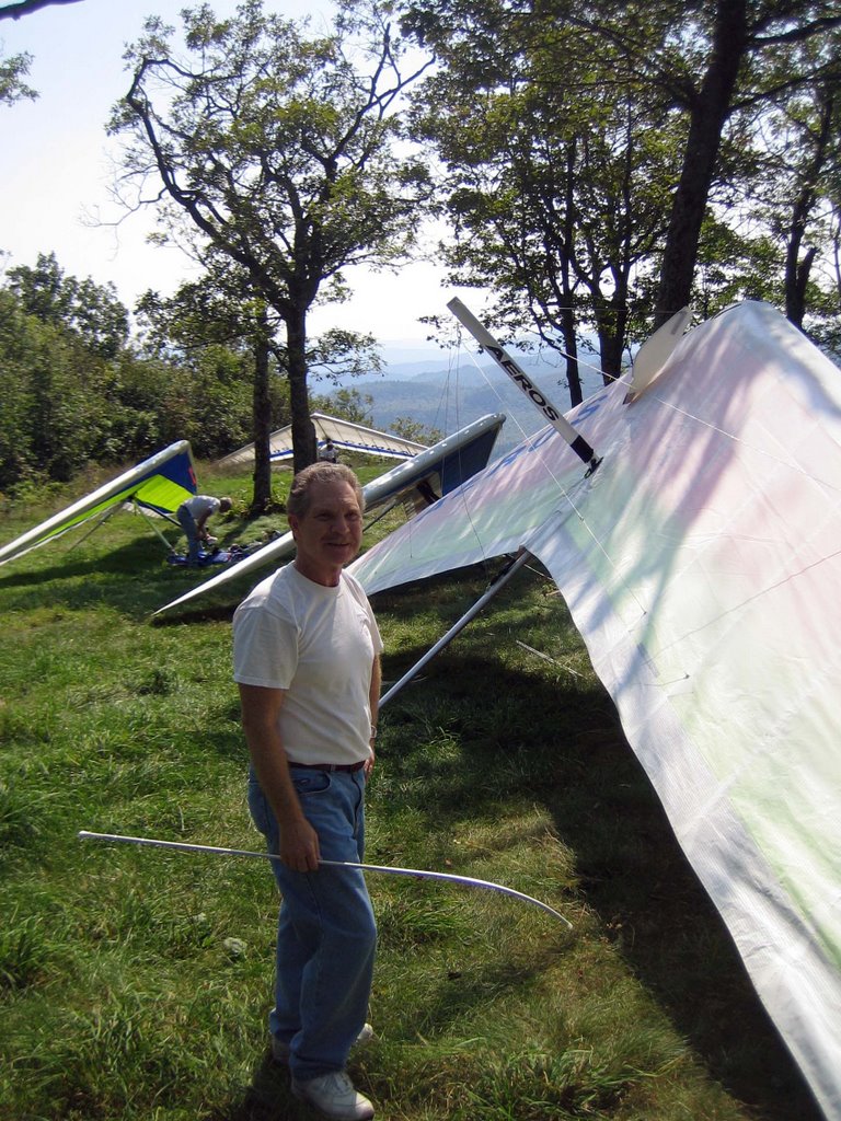 John, in his ATOS VR, was the first to break through the inversion but a short time later John C and I found a strong climb that also deposited us above the inversion. I cruised west towards John S and momentarily lost sight of John C. When I finally spotted him, he was a good 2000 feet below. Ouch. (He later said he made a wrong turn into sink and was quickly punished.)
I stayed in the valley checking out scenery after everyone else returned to the ridge. I came back in very low just when everyone else was heading out to explore. I was probably below the point where I needed to head to the LZ, but I decided to take one pass along the mountainside. I found a little bullet thermal that saved my butt and postponed my trip to the LZ. Meanwhile everyone else was sinking out and landing. I wanted to take some air-to-air photos in the possible glass-off to come but that would be hard with no one else in the air! I climbed to cloud base and then headed towards Bird’s Eye and the other peaks to the south. I chased some buzzards, caught a bit of floating fuzz, and then headed down to land.
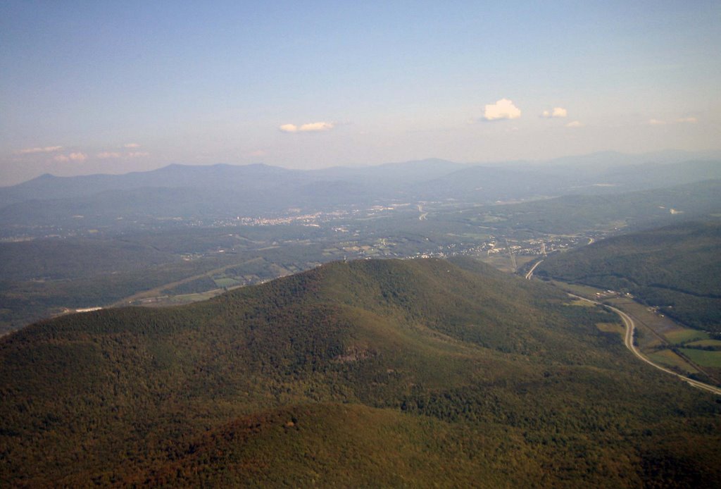 Pete offered to fetch my truck when Al offered rides to the top. While I finished breaking down, Pattie stopped by to see how John was doing. We chatted awhile, talked to Dave and Julie on the telephone, and then had some zucchini bread.
Pete and I were treated to an awesome moonrise over the mountains on the way home. The flaming red and yellow leaves on the swamp maples were a sure sign that summer was over and soon so would our flying season.
Monday, September 04, 2006
Mount Washington
Sometimes the only sane thing you can do is laugh at yourself. First, you’ll need the background. Friday was the last chance to fly before Ernesto dragged his soggy party northward to ruin the upcoming holiday weekend. Cirrus already blanketed Massachusetts and southern New Hampshire and the winds were strengthening from the east northeast. Although east winds are unusual around here we have several launches facing that direction. It would probably be ridge soarable at Mount Greylock. (Ridge soar? That’s right; it was already September 1st and the sun around here is getting weak). Cannon Mountain might be soarable if the wind was light enough, the wind was not too easterly, and the cirrus didn’t progress that far north. Then there was Mount Washington, which is always tricky to predict and implies 7 hours of driving.
I was reading email from Pete saying he was going to work when he called asking if I was going flying. Instead of the typical short conversation, we debated flying sites for almost an hour. Finally we agreed to skip Greylock since neither of us could remember actually ridge soaring there and the promise of sunshine and thermals to the north just seemed like a better idea. We would postpone our decision between Cannon and Washington until we met in Lowell. I called some other pilots that might want to share a ride north. Rodger was shocked to hear Pete was going since Rodger decided to skip the day based on Pete’s earlier email message. Greg was interested in Cannon, but by the end of the conversation he started backpedaling claiming “way too much work to do”. John Szarek called to see if I was going to Mount Washington. I explained it was one of our choices and if he and Toni were going, maybe we would go there also. Lacking backbones, Pete and I still didn’t make a decision once we consolidated on Pete’s truck in Lowell, so we called John for help. However, John and Toni were now in a holding pattern while Toni talked with a business client.
Pete and I hedged our bets and picked a route north that allowed us to postpone our decision for another hour! A short time later John called to say he and Toni were “out”. Rob Jacobs called as we passed through Manchester to say he was meeting us at Cannon. A few minutes later I got a voice mail from Greg saying he was on his way to Cannon. It looked like a decision for Cannon was being made for us.
 The wind was blowing from the north as we drove through Franconia Notch but the clouds above were drifting from the east. While Pete was inside the base lodge at Cannon, I met Bianca who was heading on to Burke to meet some other PG pilots. We both commented on the easterly wind aloft and agreed it probably wasn’t a good thing. Pete and I hooked up with Rob in the parking lot where he told us that John and Toni changed their mind and were an hour behind us heading for Mount Washington. What? I guess no one was able to make a firm decision today! After a little discussion Rob, Pete, and I decided to continue on to Washington. Since I didn’t have cell coverage, I couldn’t reach Greg until we approached Twin Mountain. We waited for him at the general store, had yet another debate between Cannon and Mount Washington, and then finally settled on Mount Washington.
 Once at Mount Washington, we loaded Greg and Rob’s equipment onto Pete’s truck and drove up the auto road. Once on top we were happy to see the clouds were above the top of the mountain, the smoke from the cog railway was drifting east, and the boulders were not blowing up the mountainside. We didn’t waste any time hiking our gear to the little grassy perch below the road and above the boulder field. (In the picture, it is just below the van on the road). Setting up the gliders was challenging as there was little room and the slope was so steep that I inserted battens vertically into the sail. Since his foot-launched skills were rusty, Rob offered to drive the truck down and help us launch. Thanks Rob!
John and Toni showed up as I was suiting up and they decided to launch at another spot further down the road. With Pete and Rob’s help I turned my glider around and waited for the wind to blow more directly into launch. I was ready to park the glider for awhile when the wind mellowed out and started coming almost straight in. I didn’t need another invitation so I immediately dove off. I started climbing and was soon looking down at the top of the tallest mountain in New England. I could see into Tuckerman’s Ravine, into the Great Gulf, and over the mountain to Bretton Woods far below. I had to dash between lift and sink since I only had about 500 feet between the top of the mountain and cloud base. It wasn’t long before Greg and then Pete joined the fun. I took pictures and explored as much as possible without getting below the top of the mountain.
 I noticed the clouds over the valley were lower than me and probably even lower than the top of the mountain. Eventually Greg and I had to burn off altitude and dive under the clouds upwind. We looked back as the mountain slowly disappeared in the clouds. (I learned later that John waited for the clouds to pass so he could launch.) I flew along the auto road and even waved to Rob as he drove down. The entire area was shaded and it began to look like the joy ride might be over. Pete eventually landed but I found a climb on the far side that kept Greg and I airborne, but just barely. I got brave and flew further into the lee side checking out hidden valleys behind craggy little peaks. I was doing ok until I got a little too far into a gap in the range that stole all my hard earned altitude. I ran to a pathetic climb that Greg discovered and we both waited for some sun to peek through. I watched an area back towards the mountain light up and watched wisps form above it. I cashed in my altitude and made my move towards the once-lit slopes. I found some broken lift that really wasn’t productive at first but it eventually turned into a climb that took me, and eventually Greg, back to cloud base where we hooked up with John.
 I wanted to go back to the peak of Washington, but it was still buried in the clouds. Instead I flew north across the mouth of the Great Gulf and then flew west along the northern side of northern ridgeline to see if there was something interesting there. Although the ridgeline was interesting and had unique chunks of white marble, most of the slopes were tree covered and uninviting. I returned back across the opening and found a weak climb in the middle over the stream that allowed me to climb while I took pictures looking up into the gulf wilderness area. I then continued back to the mountain and cruised close to the boulders and trees around the east side of the mountain. I played there until I remembered the long drive ahead. I eventually dove between the toll booths before flaring for a nice landing on the mowed lawn.
 Flying a hang glider at the windiest place on earth for 2 hours is always a treat. The scenery along the top of presidential range is unlike any other in New England and is always worth the trip. The staff of the auto road are very friendly and the tourists genuinely thrilled to see us fly.
As for all the indecision and agonizing debate, we somehow chose the right place to fly. I later found out that Greylock was essentially blown out, Cannon and Burke dished up sled rides, and Plymouth, east facing dunes at the coast, gave up some good ridge soaring.
(Toni, who just earned her H4 rating, decided not to fly when the wind and clouds made launching less than ideal. Congratulations on your new rating!)
I was reading email from Pete saying he was going to work when he called asking if I was going flying. Instead of the typical short conversation, we debated flying sites for almost an hour. Finally we agreed to skip Greylock since neither of us could remember actually ridge soaring there and the promise of sunshine and thermals to the north just seemed like a better idea. We would postpone our decision between Cannon and Washington until we met in Lowell. I called some other pilots that might want to share a ride north. Rodger was shocked to hear Pete was going since Rodger decided to skip the day based on Pete’s earlier email message. Greg was interested in Cannon, but by the end of the conversation he started backpedaling claiming “way too much work to do”. John Szarek called to see if I was going to Mount Washington. I explained it was one of our choices and if he and Toni were going, maybe we would go there also. Lacking backbones, Pete and I still didn’t make a decision once we consolidated on Pete’s truck in Lowell, so we called John for help. However, John and Toni were now in a holding pattern while Toni talked with a business client.
Pete and I hedged our bets and picked a route north that allowed us to postpone our decision for another hour! A short time later John called to say he and Toni were “out”. Rob Jacobs called as we passed through Manchester to say he was meeting us at Cannon. A few minutes later I got a voice mail from Greg saying he was on his way to Cannon. It looked like a decision for Cannon was being made for us.
 The wind was blowing from the north as we drove through Franconia Notch but the clouds above were drifting from the east. While Pete was inside the base lodge at Cannon, I met Bianca who was heading on to Burke to meet some other PG pilots. We both commented on the easterly wind aloft and agreed it probably wasn’t a good thing. Pete and I hooked up with Rob in the parking lot where he told us that John and Toni changed their mind and were an hour behind us heading for Mount Washington. What? I guess no one was able to make a firm decision today! After a little discussion Rob, Pete, and I decided to continue on to Washington. Since I didn’t have cell coverage, I couldn’t reach Greg until we approached Twin Mountain. We waited for him at the general store, had yet another debate between Cannon and Mount Washington, and then finally settled on Mount Washington.
 Once at Mount Washington, we loaded Greg and Rob’s equipment onto Pete’s truck and drove up the auto road. Once on top we were happy to see the clouds were above the top of the mountain, the smoke from the cog railway was drifting east, and the boulders were not blowing up the mountainside. We didn’t waste any time hiking our gear to the little grassy perch below the road and above the boulder field. (In the picture, it is just below the van on the road). Setting up the gliders was challenging as there was little room and the slope was so steep that I inserted battens vertically into the sail. Since his foot-launched skills were rusty, Rob offered to drive the truck down and help us launch. Thanks Rob!
John and Toni showed up as I was suiting up and they decided to launch at another spot further down the road. With Pete and Rob’s help I turned my glider around and waited for the wind to blow more directly into launch. I was ready to park the glider for awhile when the wind mellowed out and started coming almost straight in. I didn’t need another invitation so I immediately dove off. I started climbing and was soon looking down at the top of the tallest mountain in New England. I could see into Tuckerman’s Ravine, into the Great Gulf, and over the mountain to Bretton Woods far below. I had to dash between lift and sink since I only had about 500 feet between the top of the mountain and cloud base. It wasn’t long before Greg and then Pete joined the fun. I took pictures and explored as much as possible without getting below the top of the mountain.
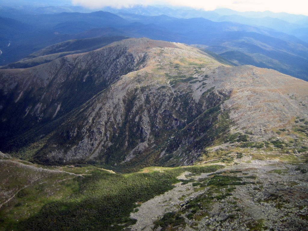 I noticed the clouds over the valley were lower than me and probably even lower than the top of the mountain. Eventually Greg and I had to burn off altitude and dive under the clouds upwind. We looked back as the mountain slowly disappeared in the clouds. (I learned later that John waited for the clouds to pass so he could launch.) I flew along the auto road and even waved to Rob as he drove down. The entire area was shaded and it began to look like the joy ride might be over. Pete eventually landed but I found a climb on the far side that kept Greg and I airborne, but just barely. I got brave and flew further into the lee side checking out hidden valleys behind craggy little peaks. I was doing ok until I got a little too far into a gap in the range that stole all my hard earned altitude. I ran to a pathetic climb that Greg discovered and we both waited for some sun to peek through. I watched an area back towards the mountain light up and watched wisps form above it. I cashed in my altitude and made my move towards the once-lit slopes. I found some broken lift that really wasn’t productive at first but it eventually turned into a climb that took me, and eventually Greg, back to cloud base where we hooked up with John.
 I wanted to go back to the peak of Washington, but it was still buried in the clouds. Instead I flew north across the mouth of the Great Gulf and then flew west along the northern side of northern ridgeline to see if there was something interesting there. Although the ridgeline was interesting and had unique chunks of white marble, most of the slopes were tree covered and uninviting. I returned back across the opening and found a weak climb in the middle over the stream that allowed me to climb while I took pictures looking up into the gulf wilderness area. I then continued back to the mountain and cruised close to the boulders and trees around the east side of the mountain. I played there until I remembered the long drive ahead. I eventually dove between the toll booths before flaring for a nice landing on the mowed lawn.
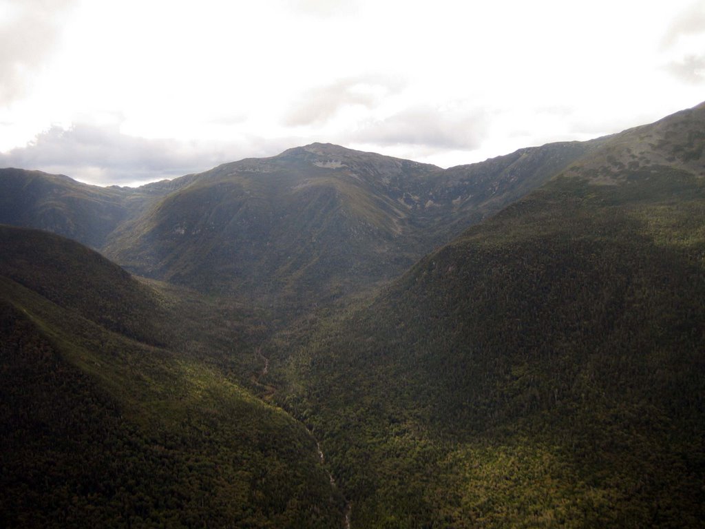 Flying a hang glider at the windiest place on earth for 2 hours is always a treat. The scenery along the top of presidential range is unlike any other in New England and is always worth the trip. The staff of the auto road are very friendly and the tourists genuinely thrilled to see us fly.
As for all the indecision and agonizing debate, we somehow chose the right place to fly. I later found out that Greylock was essentially blown out, Cannon and Burke dished up sled rides, and Plymouth, east facing dunes at the coast, gave up some good ridge soaring.
(Toni, who just earned her H4 rating, decided not to fly when the wind and clouds made launching less than ideal. Congratulations on your new rating!)
Thursday, August 24, 2006
If you wait long enough...
Five eager pilots called me as I was heading out to dinner on Tuesday evening wanting to know if I was going flying on Wednesday. I gave each the same answer, “I’ll know after I check the weather in the morning.” I watched a great stretch of weather slip by as I dug out after my trip to the pre-worlds in Big Spring. I still haven’t caught up, but I needed to deliver a suitcase for Rhett Radford and a glider for Jim Scoles (from Ottawa) to Morningside and that gave me a convenient excuse to go flying. It has been tough to forecast the weather this week since cold air is making a comeback as summer retreats. The cool, but not yet dry, Canadian air induces just a little too much instability leading to over-development and spot showers.
Pete and I were about 40 minutes into our drive when we started seeing ugly system-induced clouds to the north. A short time later Dan and Rodger, who were worried about a thick band of clouds they were seeing on the satellite over upstate Vermont and New Hampshire, called and wanted our opinion. I confessed to not having a clue! I’m not sure why, but they decided to continue on from Dan’s place until they were past Concord where they heard about rain at Ascutney from Jake, more thick clouds from Pete and I, and probably saw discouraging skies overhead. They turned around and moments later Greg called to say he was also “out” for the day. I had deliveries to make, so Pete and I continued to “press on”.
We ran into our old friend Brian Boudreau, a curling fanatic from “up north” at Morningside. We tried to ignore the clouds hiding the mountain as we tossed Brian’s gear on board and drove over. We waited around a short time at the base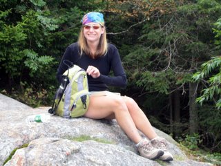 for PK but decided gave up when it started raining, we couldn’t see the top of the mountain, and we couldn’t see blue anymore. After a quick misery-relief stop at the bakery we headed back to Morningside. A short time later PK joined the rest of us in the hanger helping Steve unpack new Falcons. Finally Pete and I decided it was time to give up. We unloaded Brian’s gear and made one last pass through the hanger to say goodbye before heading home.
Well, much to our surprise, the clouds were dissipating before our very eyes when we walked back outside. After watching the clouds for another 10 minutes we decided to go back to the mountain for a late afternoon ridge soaring flight. The sky was mostly blue by the time we hiked to launch and there was just enough wind to ridge soar at times. Hikers on the mountain started congregating as we rigged. I guess we were not the only ones trying to squeeze in another day before summer sneaks away.
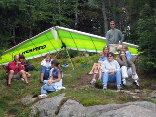 A few cummies starting to form upwind and a little wind started blowing into the becalmed launch so I finished suiting up, did a quick hang check, and climbed to launch. The wind was dying by the time I stepped onto the rock so I waited for the “good stuff” to return. I was ready dive off for a certain sled ride when it started blowing in slightly again. I ran off and connected with a weak climb that lifted me above launch. Pete wasn’t far behind and we scraped along the contours of the mountain slowly climbing in weak but widespread lift. Um, this doesn’t suck! It was a lot better than driving home empty handed.
Brian and PK dove out and joined us for a late afternoon romp around the mountain. I connected with a climb that got me high enough to leave, but I came back to spend some “quality time” at the hill. I flew out to meet the clouds out front, but was only rewarded with broken lift that had more sink than lift. I put my tail between my legs and ran back to the mountain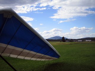 for a recharge. I wasn’t sure I would get back up, but managed to jack myself up in small shots of lift that were too small to turn in. I found a steady climb near the observation tower and then moved upwind to connect with a stronger climb PK found. PK headed back out front when the lift diminished but I stayed with the climb until I got to cloud base. Since I rarely retrieve the vehicle I thought I should head to Morningside (about 10 miles away) since someone might land out front and it would be dark before anyone could walk around to a truck. Aside from a few bumps as I exited that climb, I had a glassy smooth glide all the way to Morningside. After all the hurried racing I did in Texas, it was nice to leisurely glide along with almost no wind noise and watch the world go about it business below me. I arrived with enough altitude to circle the flight park, swoop around the silo, see my reflection close-up in the pond, scatter the geese, and land in a mowed field full of white clover.
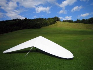 Marilyn agreed to haul my butt back to the mountain when Pete called to say they landed about the same time I did and that Brian got a ride with the first car that went by so I didn’t even have to drive back to the mountain. After packing up I talked with Rhett, Marilyn, Steve and a stoked family taking tandems flights in the glassy evening air. I don’t know exactly how, but we managed to squeeze airtime out of promising day the “went bad”.
Pete and I were about 40 minutes into our drive when we started seeing ugly system-induced clouds to the north. A short time later Dan and Rodger, who were worried about a thick band of clouds they were seeing on the satellite over upstate Vermont and New Hampshire, called and wanted our opinion. I confessed to not having a clue! I’m not sure why, but they decided to continue on from Dan’s place until they were past Concord where they heard about rain at Ascutney from Jake, more thick clouds from Pete and I, and probably saw discouraging skies overhead. They turned around and moments later Greg called to say he was also “out” for the day. I had deliveries to make, so Pete and I continued to “press on”.
We ran into our old friend Brian Boudreau, a curling fanatic from “up north” at Morningside. We tried to ignore the clouds hiding the mountain as we tossed Brian’s gear on board and drove over. We waited around a short time at the base
 for PK but decided gave up when it started raining, we couldn’t see the top of the mountain, and we couldn’t see blue anymore. After a quick misery-relief stop at the bakery we headed back to Morningside. A short time later PK joined the rest of us in the hanger helping Steve unpack new Falcons. Finally Pete and I decided it was time to give up. We unloaded Brian’s gear and made one last pass through the hanger to say goodbye before heading home.
Well, much to our surprise, the clouds were dissipating before our very eyes when we walked back outside. After watching the clouds for another 10 minutes we decided to go back to the mountain for a late afternoon ridge soaring flight. The sky was mostly blue by the time we hiked to launch and there was just enough wind to ridge soar at times. Hikers on the mountain started congregating as we rigged. I guess we were not the only ones trying to squeeze in another day before summer sneaks away.
 A few cummies starting to form upwind and a little wind started blowing into the becalmed launch so I finished suiting up, did a quick hang check, and climbed to launch. The wind was dying by the time I stepped onto the rock so I waited for the “good stuff” to return. I was ready dive off for a certain sled ride when it started blowing in slightly again. I ran off and connected with a weak climb that lifted me above launch. Pete wasn’t far behind and we scraped along the contours of the mountain slowly climbing in weak but widespread lift. Um, this doesn’t suck! It was a lot better than driving home empty handed.
Brian and PK dove out and joined us for a late afternoon romp around the mountain. I connected with a climb that got me high enough to leave, but I came back to spend some “quality time” at the hill. I flew out to meet the clouds out front, but was only rewarded with broken lift that had more sink than lift. I put my tail between my legs and ran back to the mountain
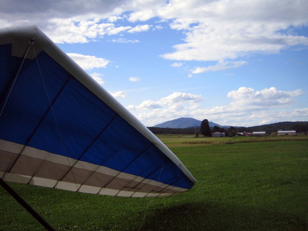 for a recharge. I wasn’t sure I would get back up, but managed to jack myself up in small shots of lift that were too small to turn in. I found a steady climb near the observation tower and then moved upwind to connect with a stronger climb PK found. PK headed back out front when the lift diminished but I stayed with the climb until I got to cloud base. Since I rarely retrieve the vehicle I thought I should head to Morningside (about 10 miles away) since someone might land out front and it would be dark before anyone could walk around to a truck. Aside from a few bumps as I exited that climb, I had a glassy smooth glide all the way to Morningside. After all the hurried racing I did in Texas, it was nice to leisurely glide along with almost no wind noise and watch the world go about it business below me. I arrived with enough altitude to circle the flight park, swoop around the silo, see my reflection close-up in the pond, scatter the geese, and land in a mowed field full of white clover.
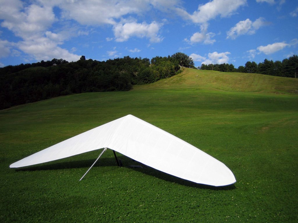 Marilyn agreed to haul my butt back to the mountain when Pete called to say they landed about the same time I did and that Brian got a ride with the first car that went by so I didn’t even have to drive back to the mountain. After packing up I talked with Rhett, Marilyn, Steve and a stoked family taking tandems flights in the glassy evening air. I don’t know exactly how, but we managed to squeeze airtime out of promising day the “went bad”.
Subscribe to:
Posts (Atom)