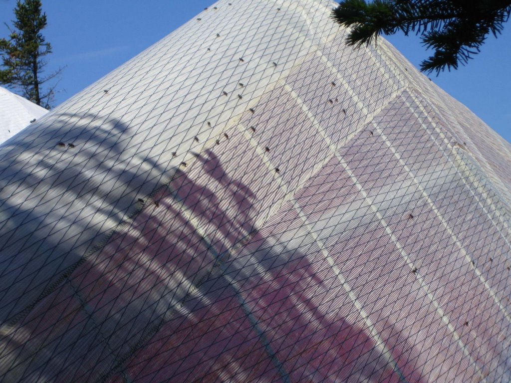
 I drove to Morningside early so I could setup camp for the weekend before flying. Lee, Pete, and I loaded our gear onto Mark’s truck in the parking lot and then drove to Ascutney. We passed Dennis and his daughter Kellie hiking out to get the rest of his ATOS as we were hiking in. The hike seemed longer today; probably due to the heat, humidity, and bugs. Speaking of bugs, house flies were everywhere and decorated our wings with little brown dots. It is unusual to see them on launch; maybe something died nearby.
Like every recent flying day, we worried about overdevelopment and showers. 45 minutes after the first clouds appeared, it become obvious our concerns were warranted as the sky filled with towering clouds. By the time everyone arrived, the lower setup area, including the “path” to launch, was stuffed with gliders.
 Although Mark was down in a corner, he wanted to leave before the day shut down. With everyone’s help, Mark’s glider surfed over our heads and gliders to launch like a body in a mosh pit. Mark soon launched and was floating around the top of the mountain. I was eager to go, but waited for Jake and Jeff to take off so I could get to launch with less help. The wind, which was blowing almost straight in, was now blowing from the left. I sat on launch for several minutes waiting for the wind to switch back around while Jeff and Jake beamed to cloud base. By the time I launched, they were leaving and I was stuck with a totally shaded mountain, anemic lift, and no where to go. I floated around launch trying to just hang on until the next thermal would hopefully drift through. Greg and John launched and soon the three of us were snooping for anything useful.
I finally got a workable climb and drifted behind the mountain. Greg and John started climbing much better than me upwind, so I swam upstream and joined them. The climb grew progressively stronger but somehow Greg missed the good part. Soon it was just John and I at cloud base with Greg going back to hook up with Dan. I raced east to catch Jake and Jeff while John headed down the river. I found another strong climb just where it should be and was quickly back to base. (I love it when climbs are where they “should” be!) I look over at my altimeter and was shocked to see I was at 8000 feet. Yahoo; I was only expecting 6000. I had an easy cloud base cruise to Newport and then decided to plow upwind to connect with a line of clouds that would take me north of Mount Kearsarge. Once again, the lift was strong and where I thought it should be. Now I could spend time gliding while still going up.
Meanwhile, I could hear Jeff and Jake having problems to the south of me near Bradford. The ground was becoming shaded and the lift weaker. Behind me, Dennis, Greg, and Dan were looking for lift at 3500 feet where I had just passed through at 7000 feet. Several pilots had landed in the LZ at the mountain, unable to find that initial climb. I was climbing over the north end of Lake Sunapee when I noticed that the line of clouds I was intending to run was dying. The better clouds were upwind, but I was not ready to go on a risky glide north of Mount Kearsarge where the LZs are sketchy at best. So I made the conservative choice and made a sharp turn to the south to a good looking set of clouds over Henniker. That would also allow me to hook up with Jeff who was climbing over the town.
 Behind me, Dan and Jake had landed, Greg was flying through rain, and Dennis was looking for a climb. I found a workable, but slow climb, over a quarry in Henniker. The sky to the east was now blue. There was a nice line of clouds down wind, but they headed right into the controlled airspace at Manchester. I asked Jeff were he was; he replied “south of Henniker”. I looked around but didn’t see him. I left hoping there would be something rising off some sunlit fields to the south southeast. I arrived at 4000 feet and started searching. Jeff said he was coming upwind at the same altitude. I told him I would search the northern end and would land in the “plowed” field if I didn’t find something. He said that looked ok, but the field with the white house looked better. I looked down wind and saw a field next to a white barn and house and agreed. I continued looking for a climb as I headed down wind. I was now down to 1600 feet still didn’t see Jeff. “Where are you?” He replied “I’m right over the power lines. I think I’m going to land in the field with the large hay bales”. I looked around; there were no hay bales in sight. Only then did I realize that although we had been talking about “the fields” for 10 minutes, we were not really talking about same fields at all! (It turned out Jeff was 3 miles east of me).
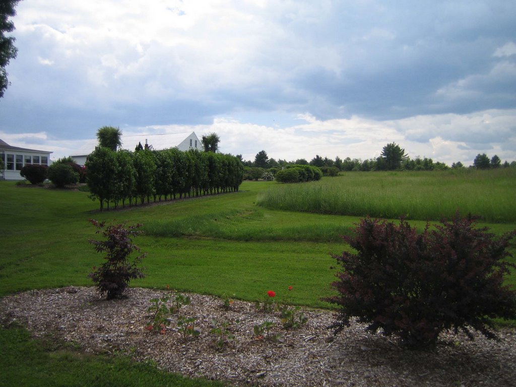
Oh well. I decided to land in the hayfield with the white house and barn. I wish I had more altitude to take pictures when I arrived since the grounds were beautifully landscaped with roses and shrubs. I landed in the hayfield and walked along the edge of the yard to the road. I had a pleasant conversation with the owner of "Rose Acres Farm", who was mowing the yard before I dropped in “unannounced”.
 I called our driver Kellie, who was already on the road near Newport. After I broke down my glider, I spent some time on the cell phone helping others arrange rides, walking along a nice country road, and taking a nap under a shade tree. After dropping Kellie off near Concord, Dennis, Jake, Greg, and I shared a fun ride back to the mountain. Although I would have enjoyed going further, I had fun zipping along at cloud base when the climbs were good. I posted the track from the flight online.
No comments:
Post a Comment